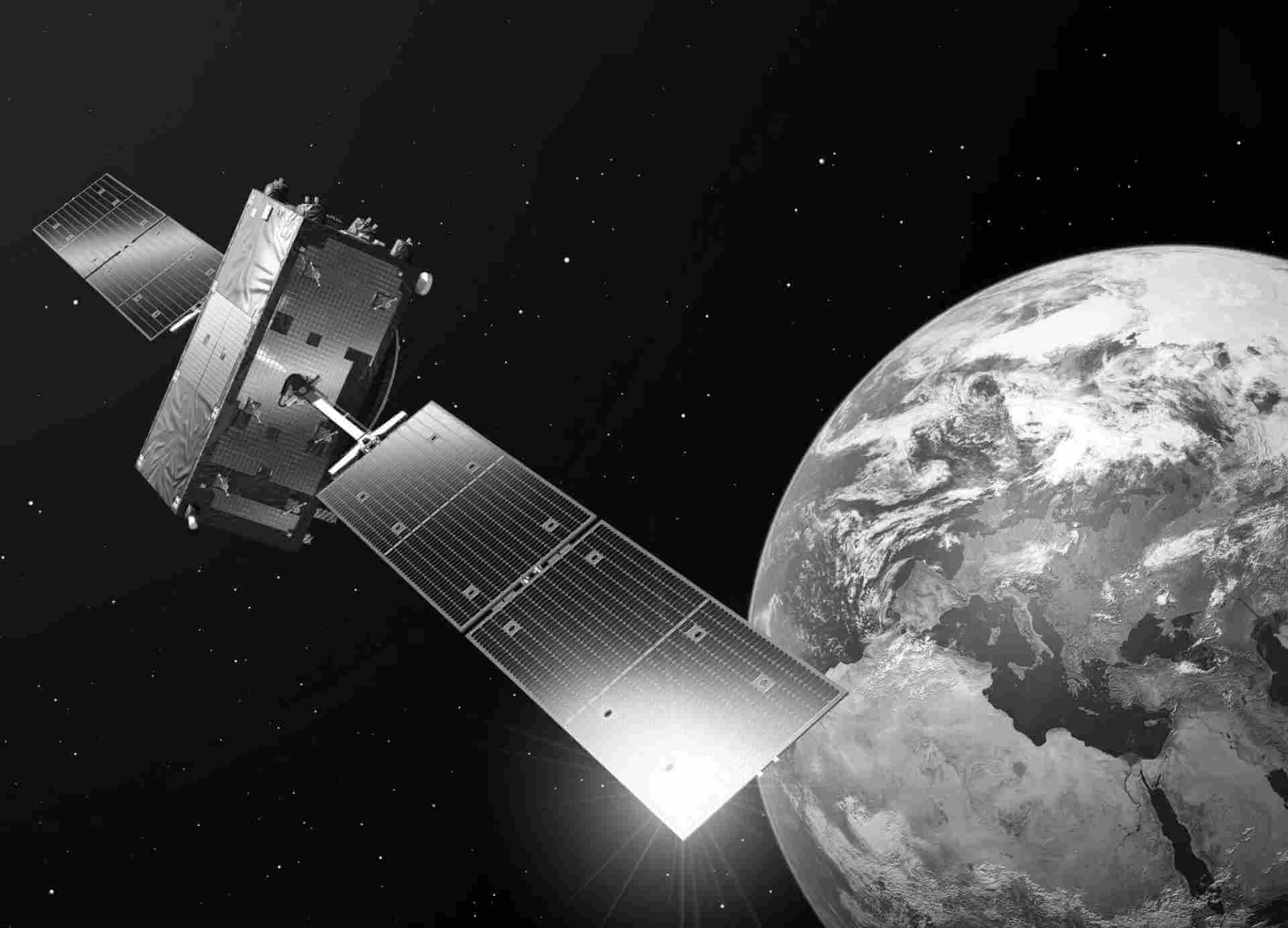
SMOS
The Soil Moisture and Ocean Salinity (SMOS) mission was launched on 2 November 2009. It is one of the European Space Agency's Earth Explorer missions, which form the science and research element of the Living Planet Programme.
The payload of SMOS consists of the Microwave Imaging Radiometer using Aperture Synthesis (MIRAS) instrument, a passive microwave 2-D interferometric radiometer, operating in L-band (1.413 GHz, 21 cm) within a protected wavelength/frequency band. The SMOS mission is based on a sun-synchronous orbit (dusk-dawn 6am/6pm). SMOS measurements are made over a range of incidence angles (0 to 55°) across a swath of approximately 1000 km with a spatial resolution of 35 to 50 km. MIRAS can provide measurements in dual and full polarisation, with the latter being its present operating mode.
Satellite details:
SMOS Level 1 data products are designed for scientific and operational users who need to work with calibrated MIRAS instrument measurements, while SMOS Level 2 data products are designed for scientific and operational users who need to work with geo-located soil moisture and sea surface salinity estimation as retrieved from the L1 dataset.
| Product type | Instrument | Spatial Range | Temporal Range | Type of Access |
|---|---|---|---|---|
| L1B | MIRAS | World | Jan 2010 - Present | IAD |
| L1CL | MIRAS | World | Jan 2010 - Present | IAD |
| L1CS | MIRAS | World | Jan 2010 - Present | IAD |
| L1OS | MIRAS | World | Jan 2010 - Present | IAD |
| L2SM | MIRAS | World | Jan 2010 - Present | IAD |

