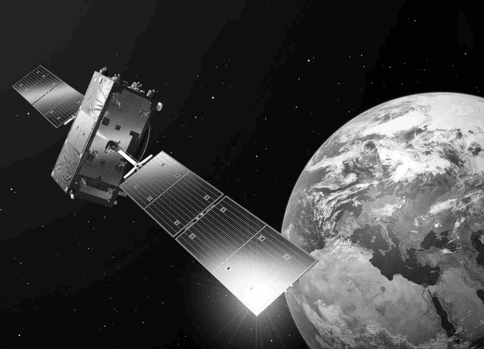
ECOSTRESS
ECOSTRESS was launched by NASA to the international space station (ISS) on June 29, 2018. The instrument includes a TIR multispectral whiskbroom scanner with five bands between 8 and 12.5 μm, which scans at ±25° and results in a swath width of ~400 km depending on the ISS height. The ISS orbit allows excellent coverages of the selected targets with multiple revisits in the diurnal cycle. The pixel size after resampling at the nadir is ~70 × 70 m.
Datasets details:
In the European ECOSTRESS Hub (EEH) funded by the European Space Agency (ESA), high spatio-temporal resolution land surface temperature (LST) and evapotranspiration (ET) products over Europe and Africa from ECOSTRESS observations are generated from August 2018 to December 2021. LST is retrieved using two different algorithms, i.e., split-window and temperature and emissivity separation algorithms. ET is obtained from the selected three structurally contrasting surface energy balance models, including the analytical STIC model and parametric SEBS and TSEB models.
| Dataset/Satellite | Product Type | Spatial Range | Temporal Range | Type of Access |
|---|---|---|---|---|
| ECOSTRESS | Level-1 | Europe, Africa | Aug 2018 - Dec 2021 | IAD |
| Product | Keyword | Link to ATBD |
|---|---|---|
| EEH-CM | Cloudmask | ATBD CM |
| EEH-TES | EEH temperature emissivity separation (TES) algorithm | ATBD TES |
| EEH-SW | EEH split window (SW) algoritm | ATBD SW |
| EEH-STIC | EEH Surface Temperature Initiated Closure (STIC) model | ATBD STIC |
| EEH-SEBS | EEH Survce Energy Balance System (SEBS) model | ATBD SEBS |
| EEH-TSEB | EEH Two-source Energy Balance (TSEB) model | ATBD TSEB |

