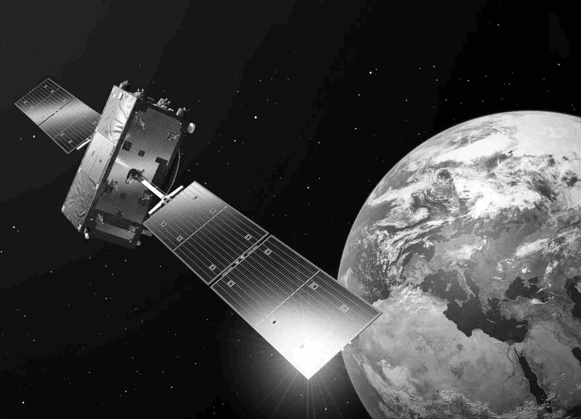
SPOT6/7
Unleash the power of Airbus SPOT 6/7 satellite imagery and take your insights to unprecedented heights. Our state-of-the-art satellites capture the Earth's surface with exceptional detail, providing you with a comprehensive and accurate view of the world. Whether you need to monitor changes in land use, analyze environmental patterns, or assess infrastructure development, SPOT 6/7 delivers imagery that exceeds expectations
Option details
With its high-resolution capabilities and wide coverage, you can gain valuable insights for industries such as agriculture, forestry, energy, and disaster management. Make informed decisions with confidence, backed by the reliability and precision of Airbus SPOT 6/7 satellite imagery. Explore a new dimension of data and unlock limitless possibilities for your business.
| Satellite | Product type | Spatial resolution | Revisit cycle | Spectral band |
|---|---|---|---|---|
| SPOT 6/7 | Optical | Panchromatic: 1.5m Multi-spectral: 6m | 1-13 days | Pan: 455 - 744nm Blue: 454 - 519nm Green: 527 - 587nm Red: 624 - 694nm Near-IR: 756 - 880nm |
| Satellite | Minimum order size | Minimum width |
|---|---|---|
| Pleiades & Vision-1 | 25km2 | 500m in any direction |
| SPOT 6/7 | 100km2 | 5km in any direction |
| SPOT 1-5 | 3,600km2 | 1 scene |

