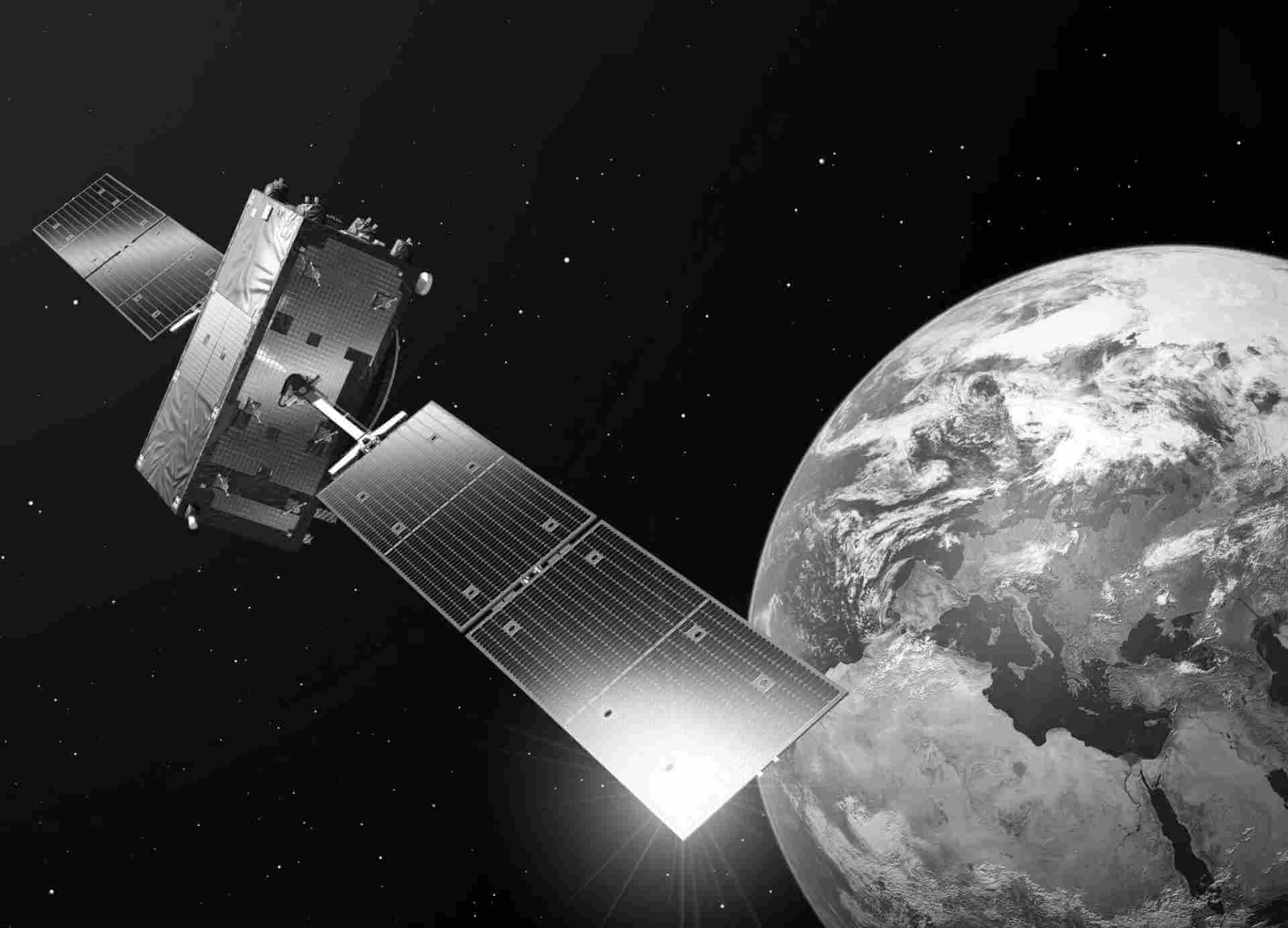
PlanetScope
With PlanetScope, users gain access to a vast and growing archive of high-resolution optical imagery. The data captured by the satellites is processed and made available through a user-friendly platform, facilitating easy exploration, analysis, and integration into existing workflows. Whether it's monitoring environmental changes, optimizing resource management, or understanding urban dynamics, PlanetScope's imagery provides valuable insights and drives impactful solutions
Dataset details
| Dataset | Product type | Spatial resolution | Revisit cycle | Spectral band |
|---|---|---|---|---|
| PlanetScope | Optical | Dove-C: 3.0 m-4.1 m Dove-R: 3.0 m-4.1 m SuperDove: 3.7 m | 1 day | Coastal Blue: 431 - 452 nm Blue: 465 – 515 nm Green I: 513 - 549 nm Green: 547 – 583 nm Yellow: 600 - 620 nm Red: 650 – 680 nm RedEdge: 697 – 713 nm NIR: 845 – 885 nm |

