Planet
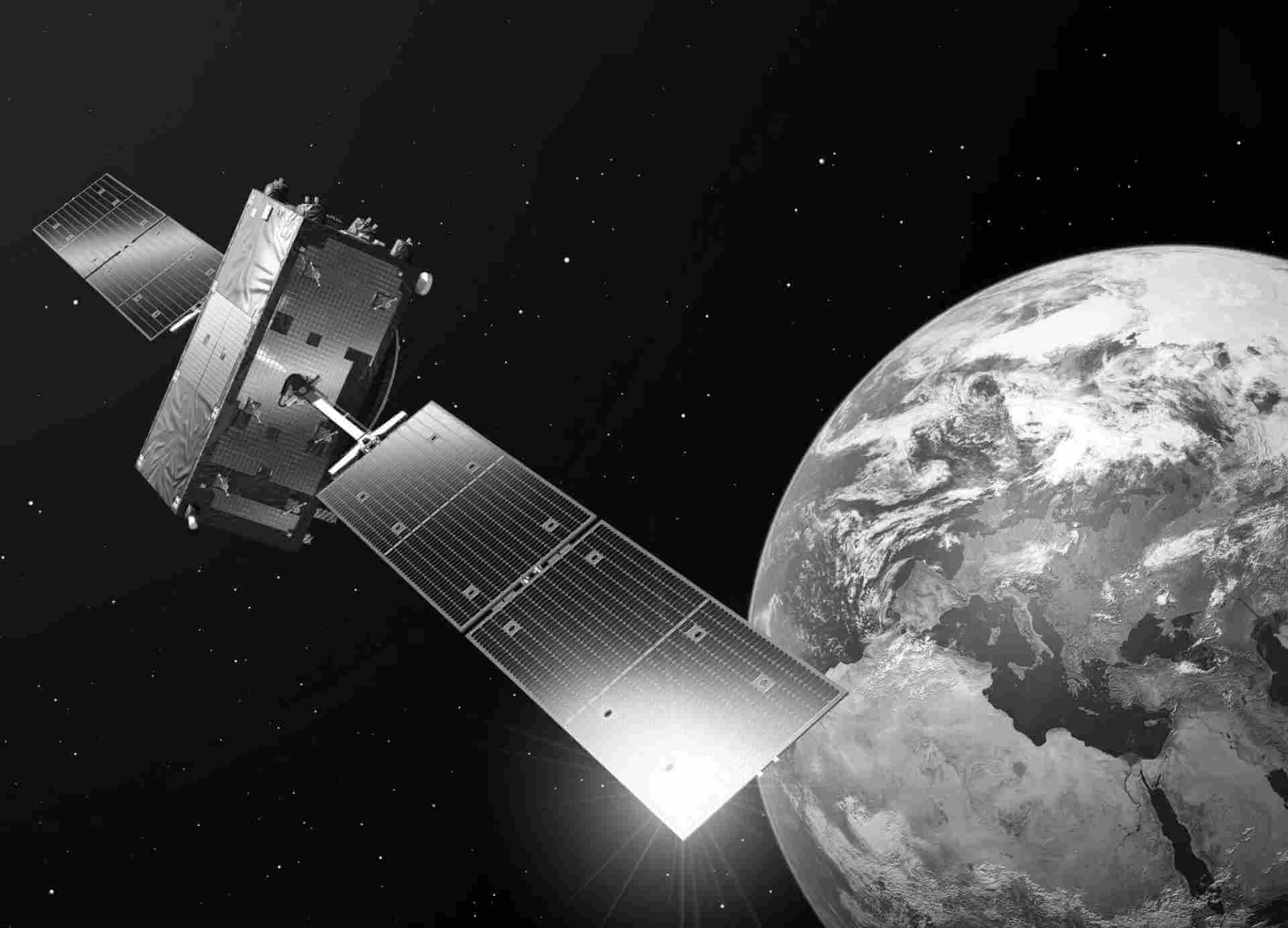
Planet Labs' satellite constellation is strategically designed to provide comprehensive coverage and rapid data acquisition. The constellation's advanced imaging capabilities, coupled with its agile revisit frequency, empower users with a wealth of high-resolution optical imagery. This allows for in-depth analysis and monitoring of diverse environmental phenomena, land cover changes, urban development, and other key factors shaping our planet
Dataset details
SkySat, a remarkable constellation operated by Planet Labs, offers an exceptional solution for high-resolution optical imagery of the Earth's surface. With their cutting-edge satellite fleet, SkySat ensures frequent revisits to any location on the planet, capturing timely and detailed data. Equipped with state-of-the-art high-resolution optical cameras, these satellites possess an extraordinary capability to capture images with a resolution of up to 50 centimeters, enabling precise and comprehensive analysis
PlanetScope, an exceptional component of Planet Labs' Earth observation offerings, provides a comprehensive solution for high-resolution optical imagery of the Earth's surface. Leveraging a constellation of advanced satellites, PlanetScope ensures global coverage and timely data acquisition for a wide range of applications. Equipped with state-of-the-art high-resolution optical cameras, these satellites have the remarkable capability to capture images with a resolution of up to 3 meters, enabling detailed and accurate analysis.
The PlanetScope constellation is designed to deliver frequent revisits to every location on Earth, providing up-to-date and relevant imagery. The high-resolution optical cameras onboard the satellites capture multispectral images in the visible and near-infrared ranges, allowing for comprehensive monitoring and analysis of various Earth phenomena. From tracking land cover changes and assessing vegetation health to urban planning and disaster response, PlanetScope imagery supports diverse industries and enables informed decision-making.
| Dataset | Product type | Spatial resolution | Revisit cycle | Spectral band |
|---|---|---|---|---|
| PlanetScope | Optical | Dove-C: 3.0 m-4.1 m Dove-R: 3.0 m-4.1 m SuperDove: 3.7 m | 1 day | Coastal Blue: 431 - 452 nm Blue: 465 – 515 nm Green I: 513 - 549 nm Green: 547 – 583 nm Yellow: 600 - 620 nm Red: 650 – 680 nm RedEdge: 697 – 713 nm NIR: 845 – 885 nm |
| Dataset | Product type | Spatial resolution | Revisit cycle | Spectral band |
|---|---|---|---|---|
| SkySat | Optical | Panchromatic: 0.65m Multi-spectral: 0.81m | 4-5 days | Blue 450 – 515 nm Green 515 – 595 nm Red 605 – 695 nm NIR 740 – 900 nm PAN 450 - 900 nm |

