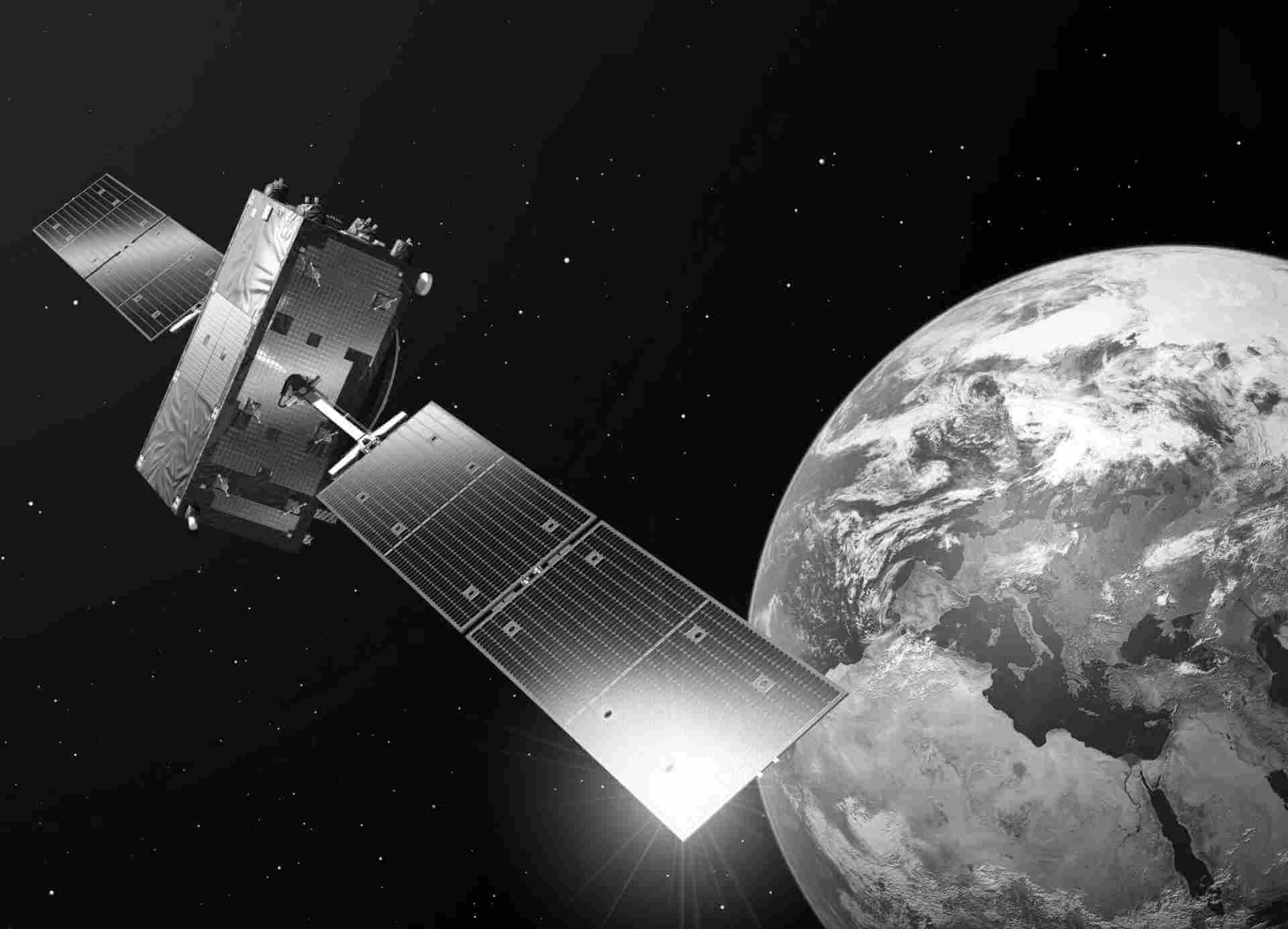
Copernicus Services
The Copernicus services leverage the extensive collection of data from Copernicus satellites and in situ observations to generate valuable information through data processing and analysis. By making datasets spanning years and decades comparable and searchable, they enable continuous monitoring of changes in the environment. Patterns are carefully examined to enhance forecasting capabilities, such as predicting ocean and atmospheric conditions. Additionally, these services employ imagery to create maps, identify noteworthy features and anomalies, and extract statistical insights.
Copernicus Services are the operational components of the Copernicus program that provide users with specific data and information products:
- Atmosphere Monitoring Service (CAMS): Provides information on the composition of the Earth's atmosphere, including air quality, greenhouse gases, and UV radiation.
- Marine Environment Monitoring Service (CMEMS): Monitors the state of the global oceans, providing data on ocean currents, temperature, salinity, sea level, and marine ecosystems.
- Land Monitoring Service (CLMS): Focuses on monitoring changes in the Earth's land surfaces, including vegetation, soil moisture, land cover, and land use.
- Emergency Management Service (EMS): Supports emergency response activities by providing timely and accurate geospatial information in the event of natural disasters, humanitarian crises, and other emergencies.


