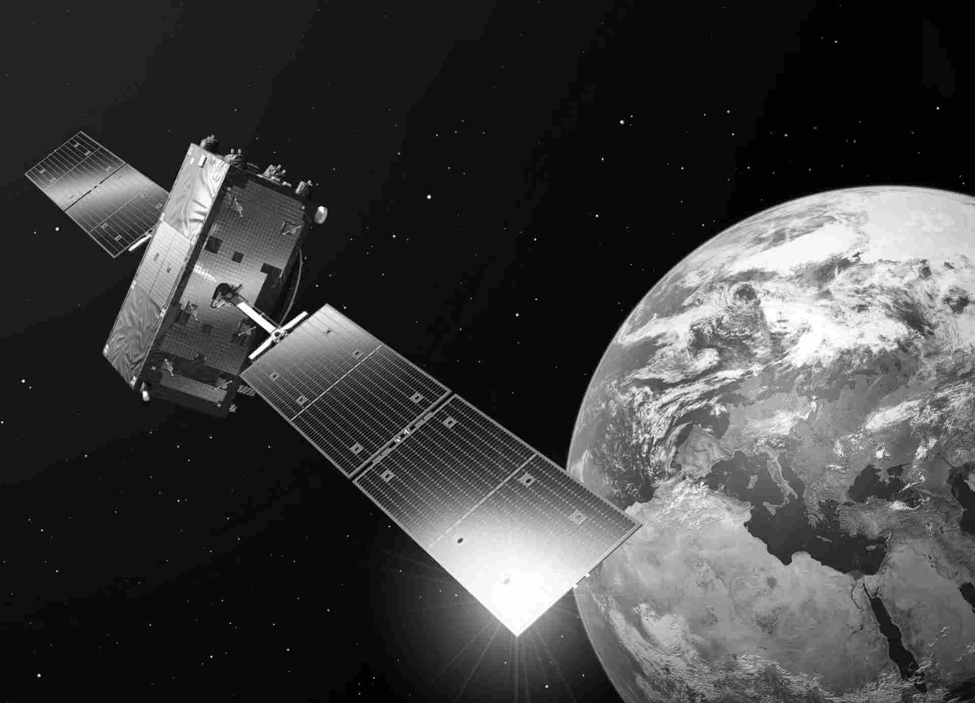
Sentinel-2 L1C
All data acquired by the Sentinel-2 MSI instrument are systematically processed to Level-1C. This processing level provides orthorectified Top-Of-Atmosphere (TOA) reflectance, with sub-pixel multispectral registration. Cloud and land/water masks are included in the product.
The Level-1C product is composed of 100x100 km2 tiles (ortho-images in UTM/WGS84 projection) and results from using a Digital Elevation Model (DEM) to project the image in cartographic geometry. Per-pixel radiometric measurements are provided as TOA reflectances (Top Of Atmosphere) along with the parameters to transform them into radiances. Level-1C products are resampled with a constant Ground Sampling Distance (GSD) of 10, 20 and 60 m depending on the native resolution of the different spectral bands. In Level-1C products, pixel coordinates refer to the upper left corner of the pixel. Level-1C products will additionally include Cloud Masks and ECMWF data (total column of ozone, total column of water vapour and mean sea level pressure).
| General | Description |
|---|---|
| Availability / Temporal coverage | Europe coverage: 2015-07- now World coverage: 2015-07 - now |
| Updates | Systematic continuous ingestion |
| Access interfaces | Data Explorer S3 from cloud environment S3 Remote Transfer |
| Path to repository | /eodata/Sentinel-2/MSI/L1C |
| Sensor | MSI |
| Data Type | Orthorectified Top-Of-Atmosphere (TOA) reflectance |
| File Format | JPEG |
| Processing Level | LEVEL1 |
| Resto Platform | S2A,S2B |
| Resto Collection | L1C |
| Resto Instrument | MSI |
| Vertical Coverage | 46.5N - 55.0N |
| Horizontal Coverage | 5.0E - 14.6E |

