


OpenGeoHub Global Elevation DTM 30
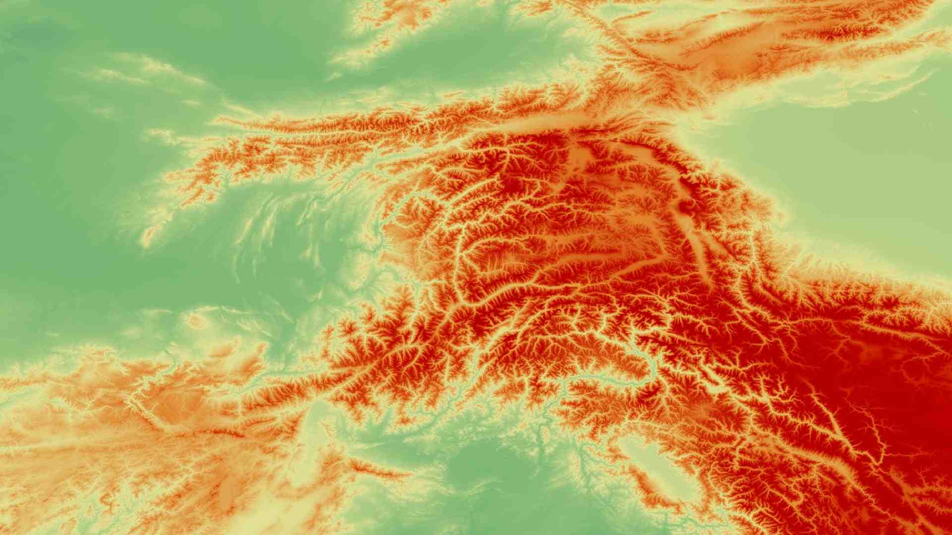
The Global Elevation DTM 30 (GEDTM30) dataset provides a detailed global model of bare terrain, free from the effects of vegetation and built structures. Delivered at 1-arc-second (~30 m) spatial resolution, it offers a consistent and accurate elevation reference for a wide range of applications, including hydrology, geomorphology, ecosystem modeling, and natural hazard assessment. GEDTM30 enables users to explore landform features, analyze watershed dynamics, and assess terrain limitations for infrastructure development.

Dataset details:
With global coverage and a harmonized data format, the dataset supports environmental monitoring and planning across local, regional, and continental scales. The GEDTM30 dataset is created using a machine learning approach that combines several global elevation sources, including ALOS AW3D, GLO-30, MERIT DEM, and high-quality national DTMs. Vegetation and building effects are removed using indicators of canopy height (greater than 2 meters) and surface roughness (greater than 6 meters). Ground elevation is estimated from nearly 30 billion LiDAR measurements collected by the GEDI and ICESat-2 satellite missions, which form the training data for a global random forest model with local refinements. The dataset uses the Equi7 tiling system to preserve hydrological continuity and reduce border effects. It also includes additional terrain variables such as slope, curvature, and hydrological indices derived from the final elevation model.
| Collection type | Static |
| Temporal coverage | 2018 |
| Access interfaces | S3 cloud access, STAC (available soon) |
| Path to repository | s3://eodata/auxdata/external/dtm_bareearth_ensemble/ |
| Product count | 1 |
| Size | 442 GB |
| Satellite data used | ICESat-2, GEDI |
| Data Type | Digital Terrain Model (DTM) Raster |
| Processing Level | L4 |
| File Format | Cloud-Optimized GeoTIFF (COG, .tif) |
| Spatial Resolution | 30m, 250m |
| Coordinate Reference System | EPSG:4326 |
| Spatial coverage | Global |
| License | CC-BY-SA-4.0 |