


ESA Tree-covered and Intact Forest Landscapes
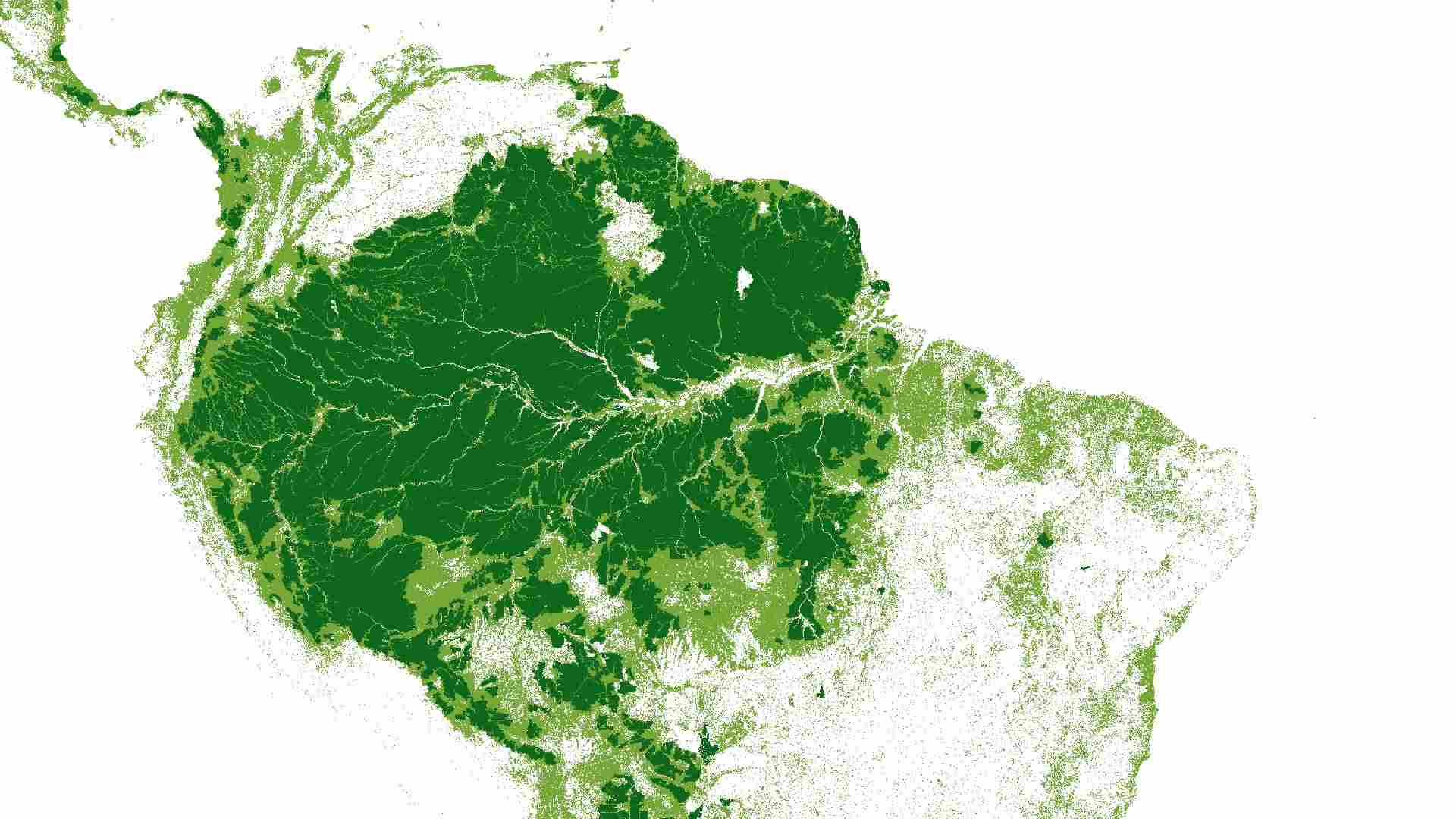
The Intact Forest Landscapes (IFL) dataset provides global information on the extent and distribution of the world’s remaining large, undisturbed forest areas. It identifies regions free from significant human disturbance at a scale of 1:1.000.000. The dataset enables users to track long-term changes in the planet’s most ecologically valuable forest regions and to assess the impacts of human activities on wilderness areas. The IFL mapping approach is based on research by Potapov et al. (2017) and makes use of the global forest cover change data developed by Hansen et al. (2013).

Dataset details:
The IFL dataset is produced using global, high resolution Landsat satellite imagery and forest cover assessments derived from UNEP historical forest maps and ESA land cover time series. Human disturbances, including infrastructure corridors, forest clearing, and surface industrial activities, are detected and used to exclude altered areas from the intact forest mask. Updates for 2013 and 2016 use global forest loss data and newly mapped disturbances to measure how much intact forest area has decreased. Additionally, complementary datasets are generated at 250 m resolution to extend temporal coverage to the years 1995, 2000, 2005, 2010, 2013, and 2016, enabling long term landscape monitoring.
| Collection type | Static |
| Temporal coverage | 1995-2016 |
| Access interfaces | S3 cloud access, STAC (available soon) |
| Path to repository | s3://eodata/auxdata/external/forest_cover_esacci_ifl/ |
| Product count | 6 |
| Size | 870 MB |
| Satellite data used | Landsat 5, Landsat 7, Landsat 8 and more |
| Data Type | Thematic Classification Raster |
| Processing Level | L3 |
| File Format | Cloud-Optimized GeoTIFF (COG, .tif) |
| Spatial Resolution | 250 m |
| Coordinate Reference System | EPSG:4326 |
| Spatial coverage | Global |
| License | CC-BY-SA-4.0 |