


ESA Climate Change Initiative Land Cover Maps
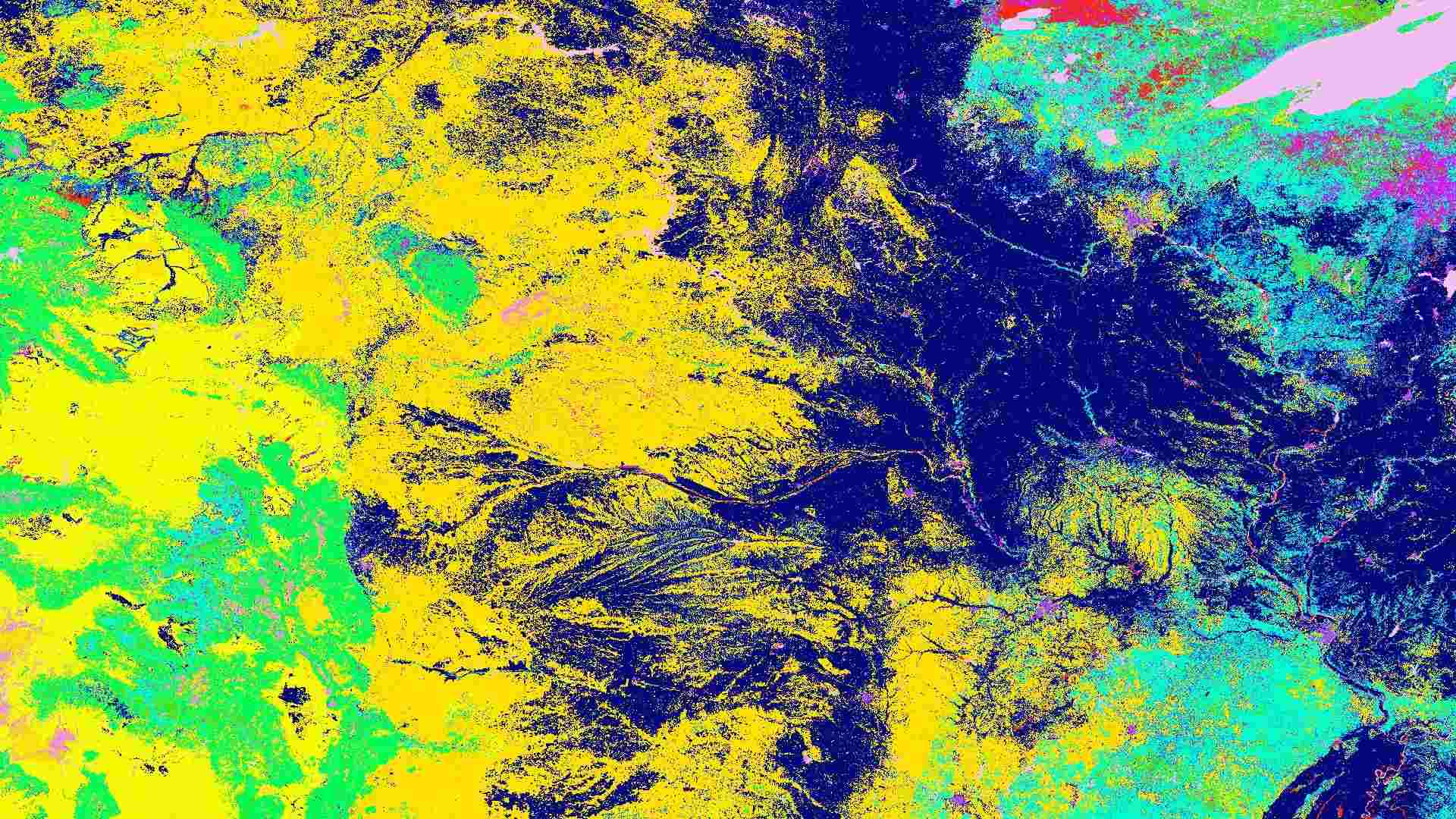
The ESA Climate Change Initiative (CCI) Land Cover dataset provides global annual maps of land cover at 300 m resolution from 1992 to 2022. Each grid cell is classified into one of 22 land-cover types defined by the UN FAO Land Cover Classification System (LCCS), allowing consistent monitoring of ecosystems such as forests, croplands, grasslands, wetlands, and urban areas. These maps support applications in land monitoring, biodiversity assessment, climate planning, and global environmental reporting.

Dataset details:
The dataset ensures long-term consistency by harmonizing Copernicus and ESA CCI Land Cover products for 1992–2015. A globally consistent method creates a 10-year baseline map (2003–2012) using MERIS data, which is then updated backward and forward in time. Historical changes are derived from AVHRR and SPOT-Vegetation data, while recent updates use PROBA-V and Sentinel-3 imagery to capture new land-cover transitions. Each annual map includes quality flags such as observation count and processing status to ensure transparency and reliability.
| Collection type | Static |
| Temporal coverage | 1992-2022 |
| Access interfaces | S3 cloud access, STAC (available soon) |
| Path to repository | s3://eodata/auxdata/external/satellite-land-cover/ |
| Product count | 31 |
| Size | 67 GB |
| Satellite data used | ENVISAT, NOAA, SPOT, PROBA-V, Sentinel-3 |
| Data Type | Land Cover Raster |
| Processing Level | L3 |
| File Format | NetCDF (.nc) |
| Spatial Resolution | 300 m |
| Coordinate Reference System | EPSG:4326 |
| Spatial coverage | Global |
| License | ESA CCI licence, CC-BY licence, VITO licence |