


Deltares Global Water Availability
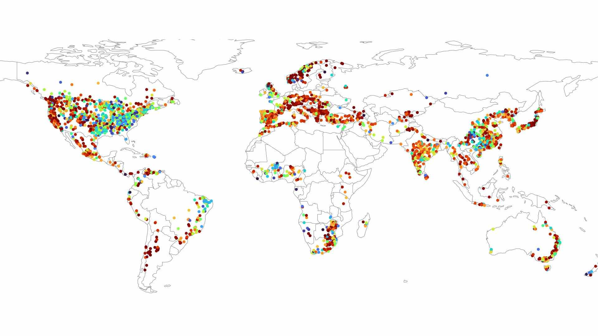
The Deltares Global Water Availability dataset provides daily estimates of water conditions for 3,236 reservoirs worldwide. It includes long-term simulations of storage volume, inflow and outflow, precipitation, evapotranspiration, snow depth, and temperature. Covering the years 1970–2020, the dataset supports multi-decadal analysis of water availability, climate variability, and human water use. These daily indicators are useful for studying droughts, flood risk, and the management of water resource systems. Data are provided in NetCDF format referenced to WGS84, ensuring compatibility with common geospatial tools and large-scale modeling workflows.

Dataset details:
The dataset is created using the wflow_sbm hydrological model, which simulates how surface and subsurface water flow into reservoirs. To evaluate the effect of different climate inputs, the model used five independent precipitation datasets: the global products ERA5 and CHIRPS, and three regional products covering Europe/North Africa (EOBS), the United States (NLDAS) and Australia (BOM). Each input dataset determines the number of contributing river basins and the spatial coverage of simulations. Model outputs are processed into daily time series for each reservoir and structured using standardized metadata.
| Collection type | Static |
| Temporal coverage | 1970-2020 |
| Access interfaces | S3 cloud access, STAC (available soon) |
| Path to repository | s3://eodata/auxdata/external/deltares-water-availability/ |
| Product count | 5 |
| Size | 28 GB |
| Satellite data used | Not specified |
| Data Type | Hydrological Reservoir Time-Series Data |
| Processing Level | L4 |
| File Format | NetCDF (.nc) |
| Spatial Resolution | Approx. 0.05° (≈4 km at equator) |
| Coordinate Reference System | EPSG:4326 |
| Spatial coverage | Global |
| License | CDLA-Permissive-1.0 |