


Capella Open Data
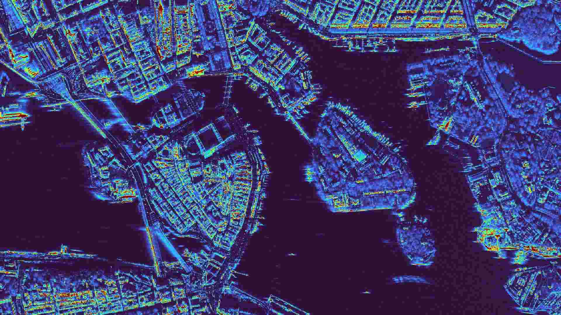
The Capella Open Data collection provides global synthetic aperture radar (SAR) observations acquired by the Capella Space satellite constellation. SAR imagery enables continuous Earth monitoring under all weather and illumination conditions. The dataset offers high-quality SAR measurements, supporting reliable mapping of land surfaces and infrastructure. Capella Open Data scenes are available across diverse geographic regions and land-cover types, making them valuable for environmental monitoring, urban studies, maritime safety, and crisis response applications.

Dataset details:
This dataset includes multiple SAR imaging modes such as Sliding Spotlight, Spotlight, and Stripmap, which offer varying balances of spatial detail and coverage. Data products are distributed in several standardized formats, including Single Look Complex (SLC), Geocoded Terrain Corrected (GEO), Geocoded Ellipsoid Corrected (GEC), Sensor Independent Complex Data (SICD), Sensor Independent Derived Data (SIDD), and Compensated Phase History Data (CPHD). These formats provide flexibility for scientific analysis, allowing users to perform interferometry, change detection, or direct geospatial integration.
| Collection type | Static |
| Temporal coverage | 2020-2025 |
| Access interfaces | S3 cloud access, STAC (available soon) |
| Path to repository | s3://eodata/auxdata/external/capella-open-data-cphd/ s3://eodata/auxdata/external/capella-open-data-csi/ s3://eodata/auxdata/external/capella-open-data-gec/ s3://eodata/auxdata/external/capella-open-data-geo/ s3://eodata/auxdata/external/capella-open-data-sicd/ s3://eodata/auxdata/external/capella-open-data-slc/ |
| Product count | 6380 |
| Size | 27.07 TB |
| Satellite data used | Capella |
| Data Type | Synthetic Aperture Radar (SAR) Raster |
| Processing Level | L1 and L2 |
| File Format | GeoTIFF (.tif) |
| Spatial Resolution | ~0.6 m |
| Coordinate Reference System | Varied |
| Spatial coverage | Global |
| License | CC BY 4.0 |