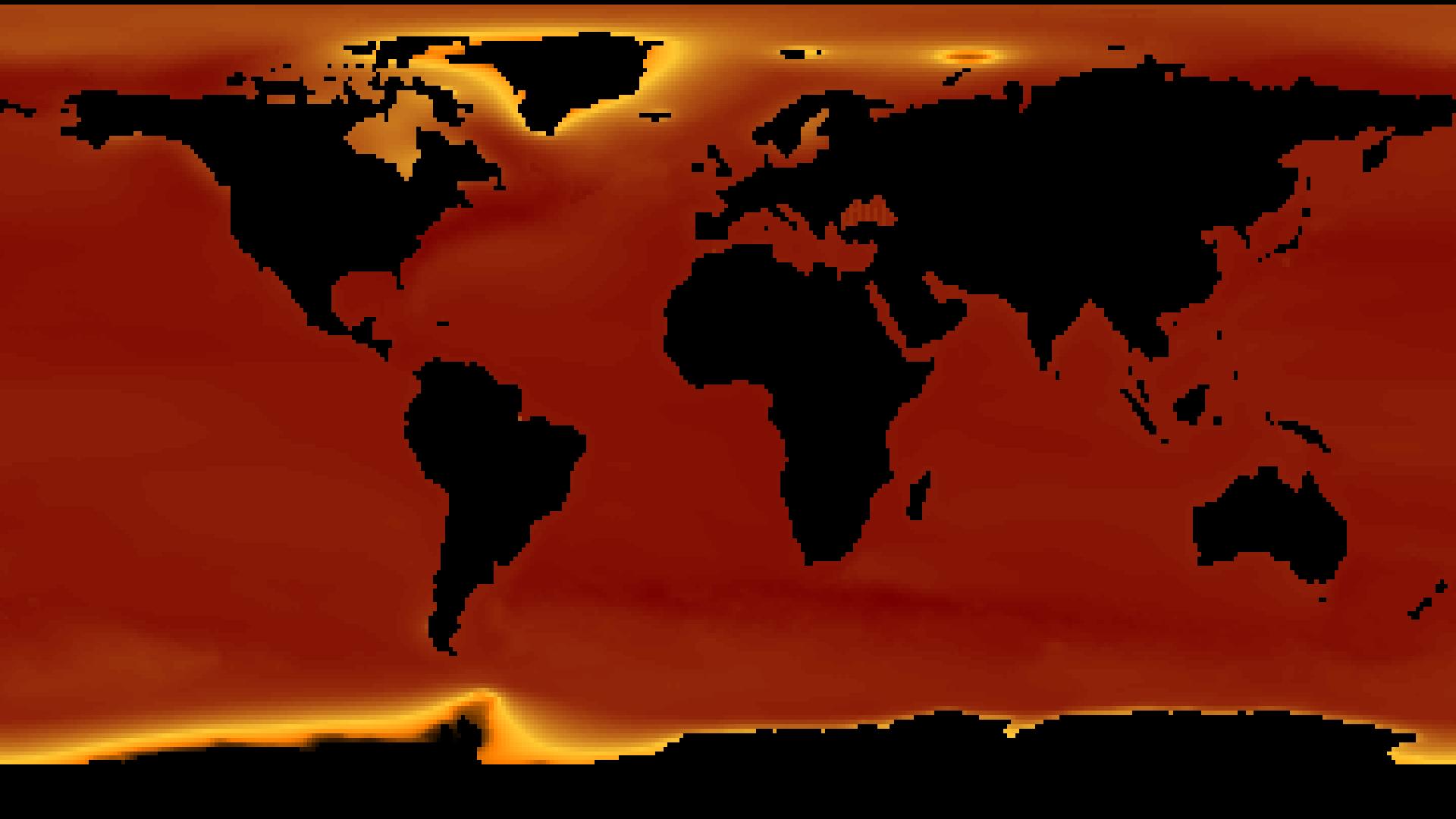
BRGM Sea Level Rise Projections
The MSL_CIS_HIGH-END dataset provides regional projections of future mean sea level change under a high-end climate scenario, following methodologies from the IPCC Sixth Assessment Report (AR6). It offers global coverage at a spatial resolution of about 1° × 1°, with projections given relative to the 1995–2014 baseline period. Data are available for 2030 to 2150 in decadal steps, supporting long-term assessments of coastal risk, exposure, and adaptation planning. The dataset focuses on potential upper-bound sea level changes linked to extreme ice sheet responses and rapid ocean warming, providing valuable information for high-impact, low-probability planning scenarios.
Dataset details:
| Collection type | Static |
| Temporal coverage | 2031-2151 |
| Access interfaces | S3 cloud access, STAC (available soon) |
| Path to repository | s3://eodata/auxdata/external/slp/ |
| Product count | 156 |
| Size | 30 MB |
| Satellite data used | Not specified |
| Data Type | Sea Level Projection Raster |
| Processing Level | L4 |
| File Format | Cloud-Optimized GeoTIFF (COG, .tif) |
| Spatial Resolution | Approx. 1° (≈111 km at equator) |
| Coordinate Reference System | EPSG:4326 |
| Spatial coverage | Global |
| License | CC-BY-4.0 |

