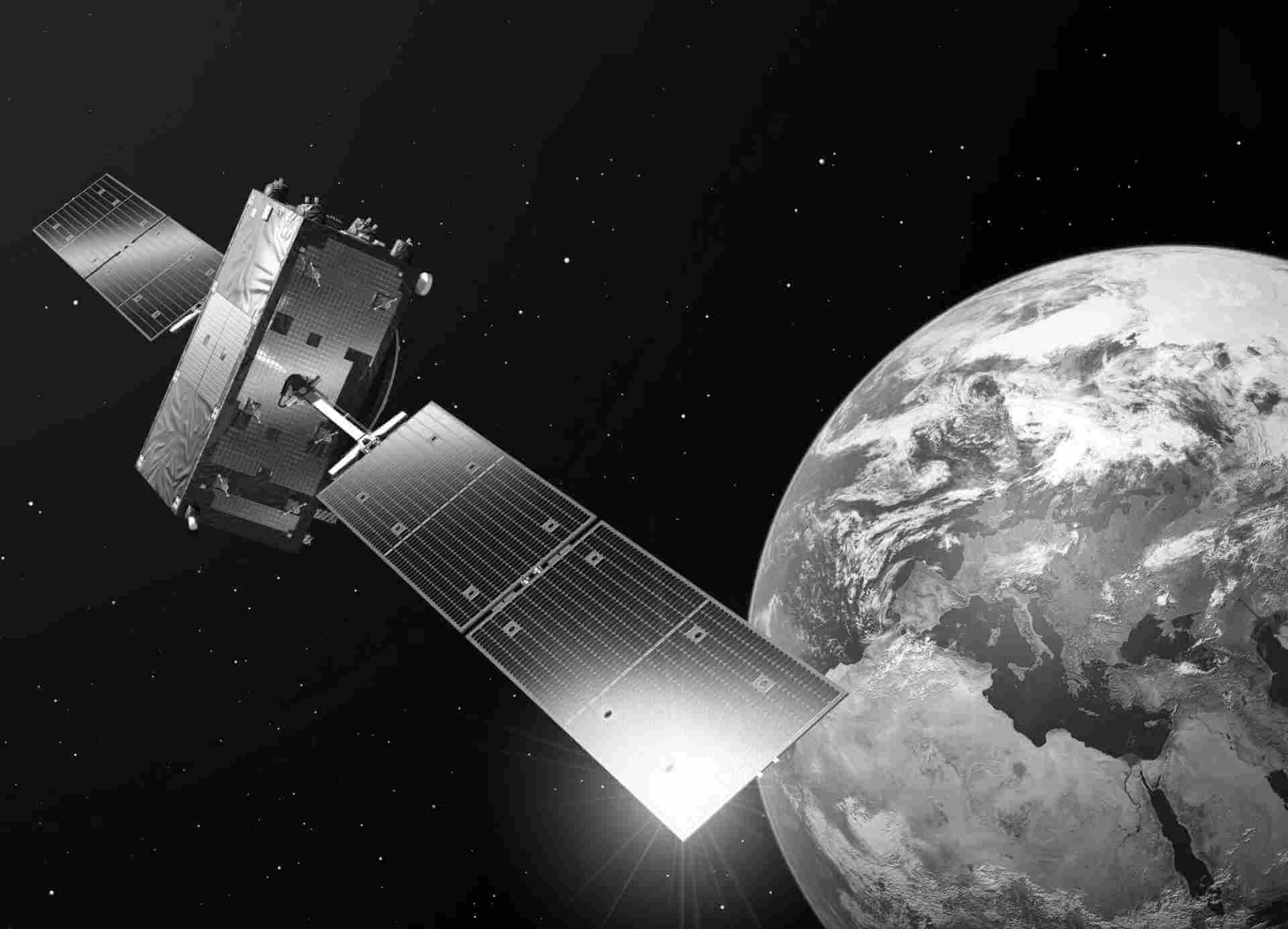
Sentinel-1 (CARD-COH) Coherence
Sentinel-1 CARD-COH produces Sentinel-1 Level-2 interferometric coherence data. The coherence between two acquisitions – one before and the other one after the change – can affect the phase and the amplitude of the Sentinel-1 imagery. That is why, even a small land cover or land use change can be detected. Therefore, Sentinel-1 CARD-COH6 is a popular solution for tracking seasonal changes as well as sudden surface disturbances, for example earthquakes, slides or storms.
Product details
Ground range coordinates for Sentinel-1 (CARD-COH) Coherence represent the slant range coordinates projected onto the ellipsoid of the Earth. This product provides information about the coherence between two complex SAR (Synthetic Aperture Radar) images. Coherence represents the similarity of phase between two SAR acquisitions and can be used to analyze changes and properties of the observed targets.
The resulting product has approximately square spatial resolution and square pixel spacing, achieved through multi-look processing. This helps reduce the impact of speckle noise and provides a clearer representation of the underlying information.
Users can benefit from the noise vector annotation data set included in the product annotations. This data set contains thermal noise vectors, enabling the application of thermal noise correction by subtracting the noise values from the detected power. Tools like the Sentinel-1 Toolbox (S1TBX) support thermal noise correction, assisting users in achieving more accurate and reliable coherence results.
Sentinel-1 (CARD-COH) Coherence products are available in different resolutions depending on the acquisition mode and the level of multi-looking applied:
- Full Resolution (FR): Available in SM (Stripmap) mode.
- High Resolution (HR): Available in SM (Stripmap) and IW (Interferometric Wide Swath) modes.
- Medium Resolution (MR): Available in SM (Stripmap), IW (Interferometric Wide Swath), and EW (Extra Wide Swath) modes.
For IW and EW Coherence products, multi-look processing is performed individually on each burst, and then the bursts from all sub-swaths are merged seamlessly to create a single, continuous coherence image per polarization channel. The data are also provided in COG (Cloud-Optimized GeoTIFF) format, ensuring efficient handling and optimized processing of the data.
| General | Description |
|---|---|
| Availability / Temporal coverage | Europe coverage: World coverage: |
| Updates | Systematic continuous ingestion |
| Access interfaces | Data Explorer S3 from cloud environment S3 Remote Transfer |
| Path to repository | /eodata/Sentinel-1/SAR/CARD-COH |
| File Format | GeoTIFF |
| Resto Platform | S1A,S1B |

