


Global Biomass Carbon Density
The Global Biomass Carbon Density 2010 dataset provides global maps of aboveground and belowground biomass carbon stored in terrestrial ecosystems. It offers carbon density estimates at 300 m resolution for the year 2010, supporting assessments of global carbon stocks and climate mitigation potential. The dataset covers all major biomes, including forests, grasslands, croplands, and tundra, and includes pixel-level uncertainty layers to indicate confidence in the estimates. These maps are used for research on carbon accounting, ecosystem productivity, land-use change, and climate policy, particularly for global greenhouse gas reporting.

Dataset details:
The dataset was created by combining satellite-based biomass maps with land-cover–specific empirical models. Separate aboveground and belowground biomass layers were first derived from existing maps and updated to ensure consistent coverage for 2010. Belowground biomass was estimated from aboveground values using biome-specific relationships. The final global layers were produced with a rule-based decision tree that integrates land-cover and tree-cover data, ensuring consistent results across all ecosystem types.
| Collection type | Static |
|---|---|
| Temporal coverage | 2010 |
| Access interfaces | S3 cloud access, STAC (available soon) |
| Path to repository | s3://eodata/auxdata/external/hgb/ |
| Product count | 1 |
| Size | 7.4 GB |
| Satellite data used | Not specified |
| Data Type | Thematic Classification Raster |
| Processing Level | L4 |
| File Format | Cloud-Optimized GeoTIFF (COG, .tif) |
| Spatial Resolution | 300 m |
| Coordinate Reference System | EPSG:4326 |
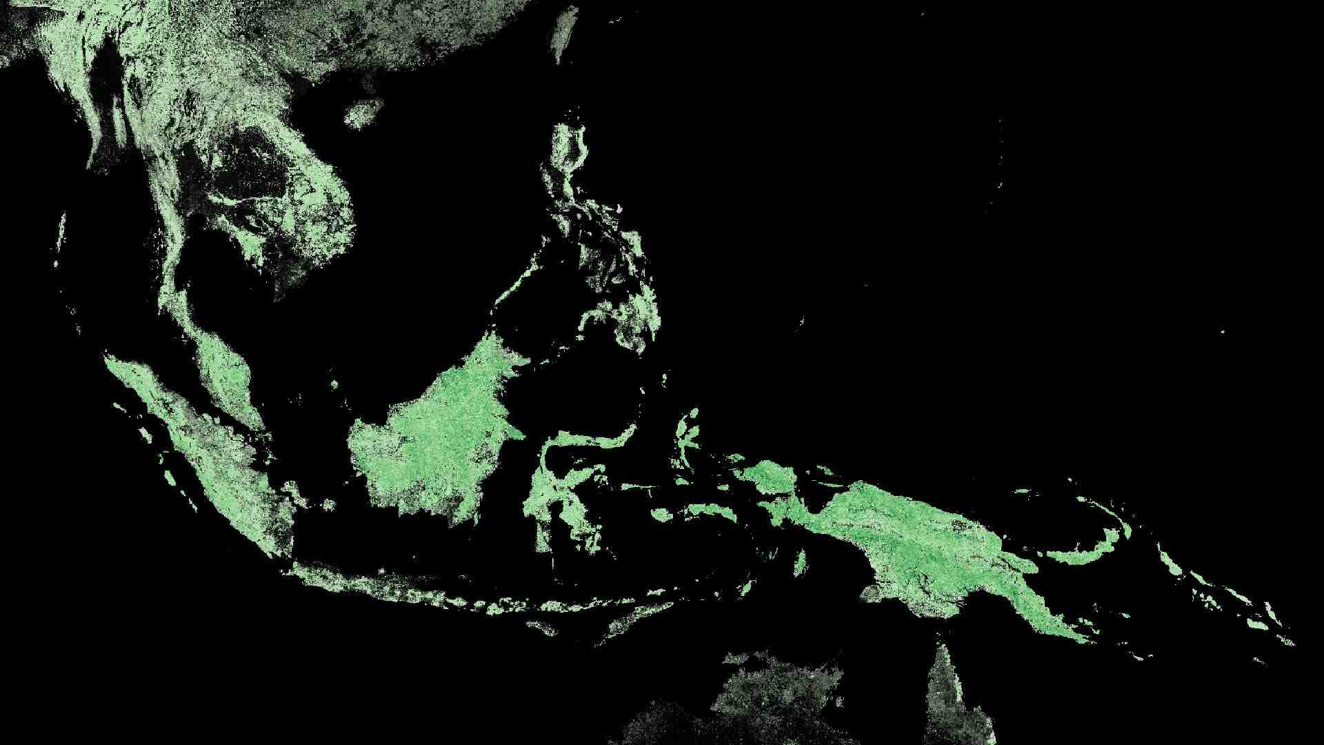
| Spatial coverage | Global |
| License | EOSDIS Data Use Policy |