


JRC Global Surface Water
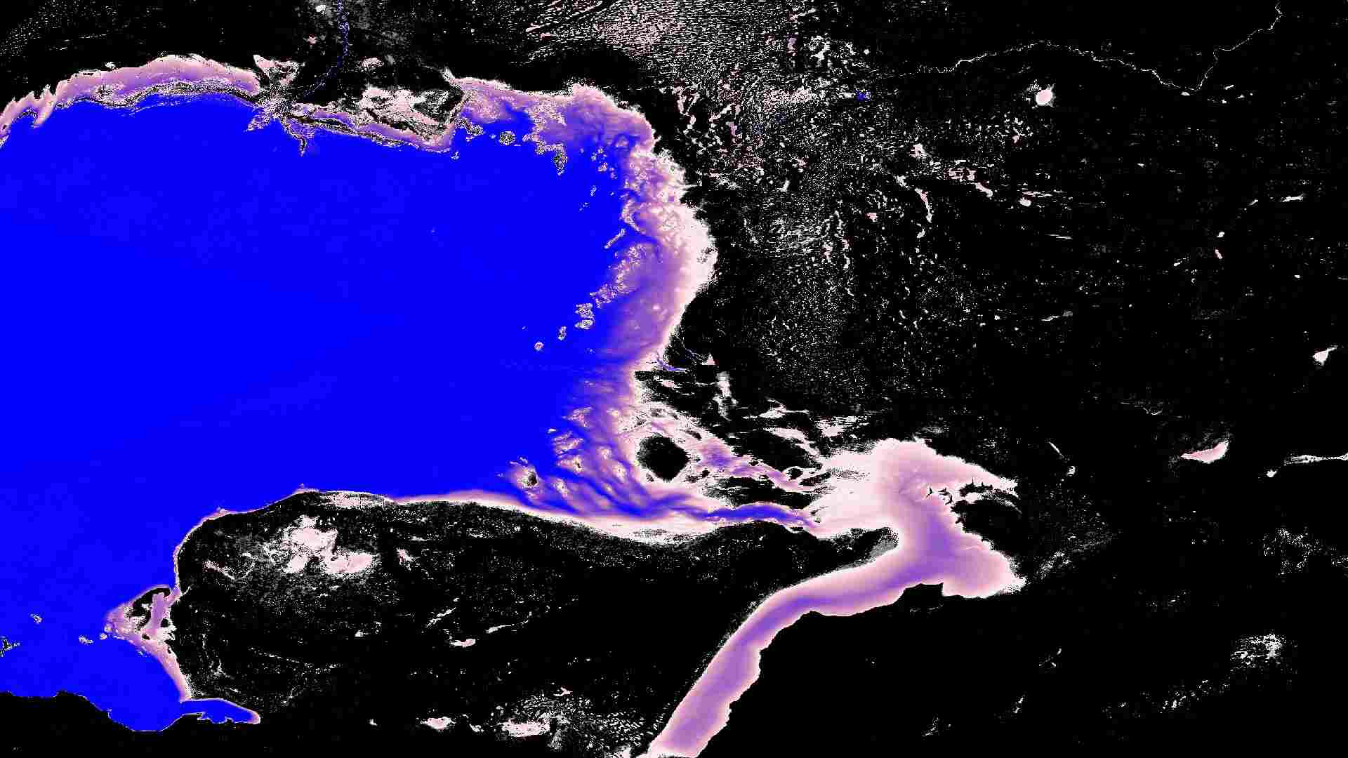
The Global Surface Water (GSW) dataset provides global information on the presence and long-term dynamics of inland surface water between 1984 and 2021. It maps where water occurs, how frequently it returns, and how its seasonal extent changes over time, capturing both permanent and seasonal water bodies. Full water detection histories enable detailed investigation of specific events and trends, such as flood impacts or reservoir expansion. GSW is widely used in studies related to hydrology, climate change, freshwater availability, and disaster risk.

Dataset details:
The Global Surface Water (GSW) dataset is derived from three decades of optical imagery collected by Landsat 5, 7, and 8. The data are processed using a consistent water-detection algorithm developed by the Joint Research Centre (JRC). The dataset is created using thematic classification and temporal aggregation, combining long-term trend analysis instead of relying only on raw satellite reflectance measurements. All products are provided at a 30 m spatial resolution and include multiple thematic layers such as occurrence, recurrence, seasonality, transitions, and maximum water extent. Metadata layers indicate the number of available observations and valid water detections, helping users assess the confidence level of the classification.
| Collection type | Static |
|---|---|
| Temporal coverage | 1984-2020 |
| Access interfaces | S3 cloud access, STAC (available soon) |
| Path to repository | s3://eodata/auxdata/external/jrc-gsw/ |
| Product count | 504 |
| Size | 42 GB |
| Satellite data used | Landsat 5, Landsat 7, Landsat 8 |
| Data Type | Thematic Classification Raster |
| Processing Level | L3 |
| File Format | Cloud-Optimized GeoTIFF (COG, .tif) |
| Spatial Resolution | 30 m |
| Coordinate Reference System | EPSG:4326 |
| Spatial coverage | Global |
| License | Copernicus Open Access Policy |