


MODIS
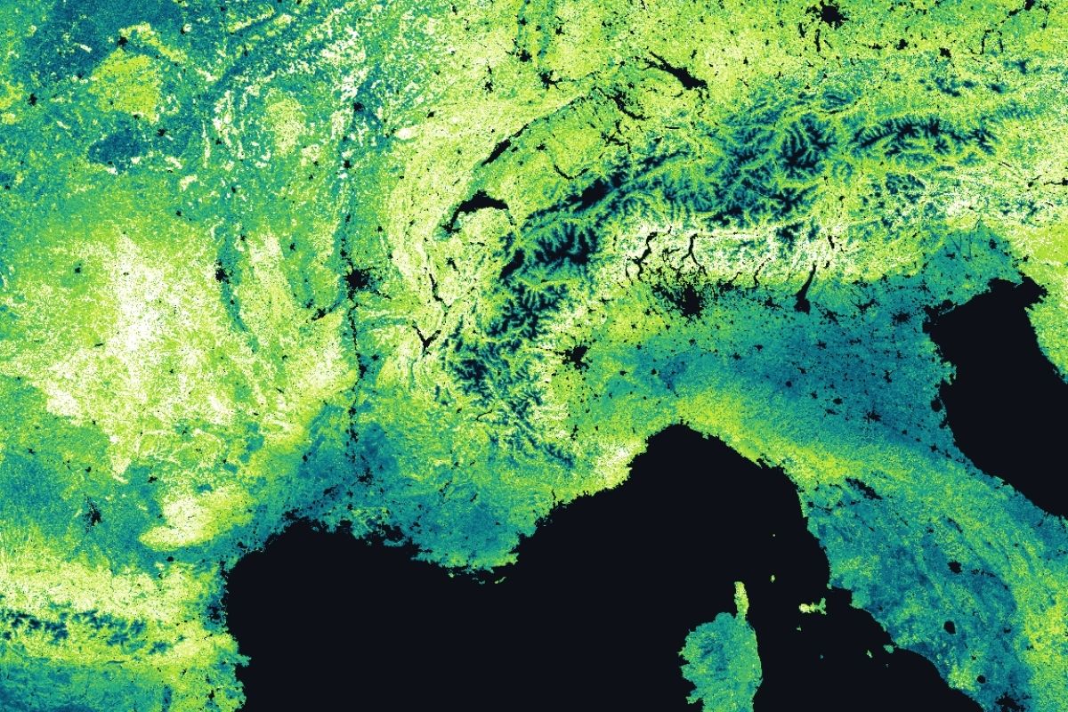
MODIS (Moderate Resolution Imaging Spectroradiometer) is one of the longest-running and most thematically rich Earth observation programs, delivering continuous environmental data for over 25 years. The sensor operates aboard NASA's Terra and Aqua satellites, capturing data across 36 spectral bands spanning visible light to thermal infrared. This enables the derivation of a wide range of geophysical parameters, including vegetation indices, land surface temperature, snow cover, and burned area. Its broad spectral range combined with global coverage makes MODIS particularly well-suited for regional and global-scale environmental monitoring.

Datasets details:
- Instruments: MODIS optical sensor aboard Terra and Aqua satellites
- Spectral range: 36 bands from visible light to thermal infrared
- Spatial resolution: 250 m to 1,000 m depending on the product
- Revisit time: 1 to 2 observations per day, enabled by a swath width of 2,330 km
- Data format: HDF4, organized in a sinusoidal tiling grid
| MODIS Collection ID | Name | Instrument | Spatial Range | Temporal Range | Level | GSD |
|---|---|---|---|---|---|---|
| MOD09A1 / MYD09A1 | MODIS Surface Reflectance 8-Day | MODIS | World | 2000-02-18 to Present | L3 | 500 m |
| MOD09Q1 / MYD09Q1 | MODIS Surface Reflectance 8-Day | MODIS | World | 2000-02-18 to Present | L3 | 250 m |
| MOD10A1 / MYD10A1 | MODIS Snow Cover Daily | MODIS | World | 2000-02-24 to Present | L3 | 500 m |
| MOD10A2 / MYD10A2 | MODIS Snow Cover 8-Day | MODIS | World | 2000-02-18 to Present | L3 | 500 m |
| MOD11A1 / MYD11A1 | MODIS Land Surface Temperature/Emissivity Daily | MODIs | World | 2000-02-24 to Present | L3 | 1 km |
| MOD11A2 / MYD11A2 | MODIS Land Surface Temperature/Emissivity 8-Day | MODIS | World | 2000-02-18 to Present | L3 | 1 km |
| MOD13A1 / MYD13A1 | MODIS Vegetation Indices 16-Day | MODIS | World | 2000-02-18 to Present | L3 | 500 m |
| MOD13A2 / MYD13A2 | MODIS Vegetation Indices 16-Day | MODIS | World | 2000-02-18 to Present | L3 | 1 km |
| MOD13Q1 / MYD13Q1 | MODIS Vegetation Indices 16-Day | MODIS | World | 2000-02-18 to Present | L3 | 250 m |
| MOD14A1 / MYD14A1 | MODIS Thermal Anomalies/Fire Daily | MODIS | World | 2000-02-18 to Present | L3 | 1 km |
| MOD14A2 / MYD14A2 | MODIS Thermal Anomalies/Fire 8-Day | MODIS | World | 2000-02-18 to Present | L3 | 1 km |
| MOD15A2H / MYD15A2H | MODIS Leaf Area Index/FPAR 8-Day | MODIS | World | 2000-02-18 to Present | L4 | 500 m |
| MOD16A2GF / MYD16A2GF | MODIS Net Evapotranspiration Gap-Filled 8-Day | MODIS | World | 2000-01-01 to Present | L4 | 500 m |
| MOD16A3GF / MYD16A3GF | MODIS Net Evapotranspiration Gap-Filled Yearly | MODIS | World | 2000-02-18 to Present | L4 | 500 m |
| MOD17A2H / MYD17A2H | MODIS Gross Primary Productivity 8-Day | MODIS | World | 2021-01-01 to Present | L4 | 500 m |
| MOD17A2HGF / MYD17A2HGF | MODIS Gross Primary Productivity Gap-Filled 8-Day | MODIS | World | 2000-01-01 to Present | L4 | 500 m |
| MOD17A3HGF / MYD17A3HGF | MODIS Net Primary Production Gap-Filled Yearly | MODIS | World | 2001-01-01 to Present | L4 | 500 m |
| MOD21A2 / MYD21A2 | MODIS Land Surface Temperature/3-Band Emissivity 8-Day | MODIS | World | 2000-02-18 to Present | L3 | 1 km |
| MCD12Q1 | MODIS Land Cover Type Yearly | MODIS | World | 2001-01-01 – 2024-01-01 | L3 | 500 m |
| MCD15A2H | MODIS Leaf Area Index/FPAR 8-Day | MODIS | World | 2002-07-04 - Present | L4 | 500 m |
| MCD15A3H | MODIS Leaf Area Index/FPAR 4-Day | MODIS | World | 2002-07-04 - Present | L4 | 500 m |
| MCD43A4 | MODIS BRDF/Albedo Nadir BRDF-Adjusted Ref Daily | MODIS | World | 2000-02-16 - Present | L3 | 500 m |
| MCD64A1 | MODIS Burned Area Monthly | MODIS | World | 2000-11-01 - Present | L3 | 500 m |