


The Distributed Open Marketplace for Europe (DOME) project, funded under the EU’s Digital Europe Programme, is building a unified European platform where businesses, public institutions, and research organisations can discover, compare, and access verified digital services. Its goal is to simplify and accelerate digital transformation by creating a federated marketplace,
a network of interconnected platforms that share a common framework for interoperability, trust, and compliance.
The DOME project brings together almost 40 organisations (including CloudFerro) from 14 EU countries spanning large enterprises, SMEs, research institutes, certification bodies, and non-profit organisations.
The benefits of the DOME Marketplace reach multiple stakeholders:
- Cloud and “as-a-service” providers gain interoperability, automation, and market reach.
- Data owners can securely monetise their assets.
- Consumers can easily find, deploy, and manage services.
- Marketplace operators can aggregate offerings with transparent billing.
By joining the DOME ecosystem, CREODIAS gains greater visibility among new audiences who may not yet be familiar with its powerful capabilities for accessing and processing Earth Observation data.
The DOME Marketplace platform aims to ensure that trusted, high-quality services such as CREODIAS are just a click away for anyone who needs them.
By Patryk Grzybowski, Data Scientist at CloudFerro
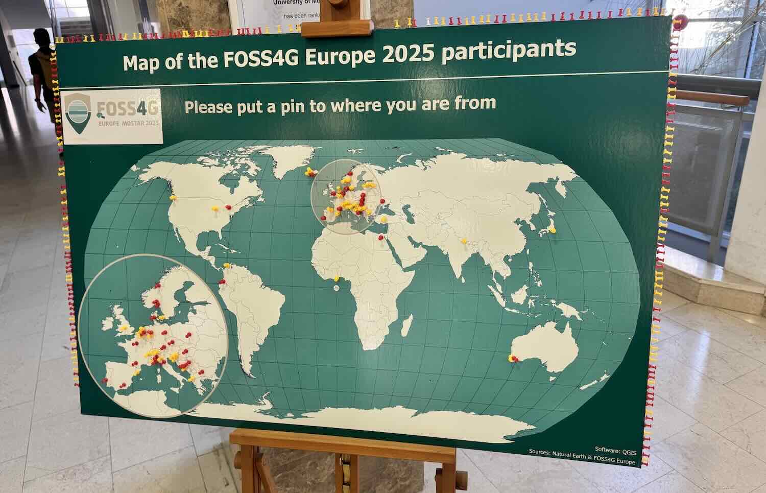
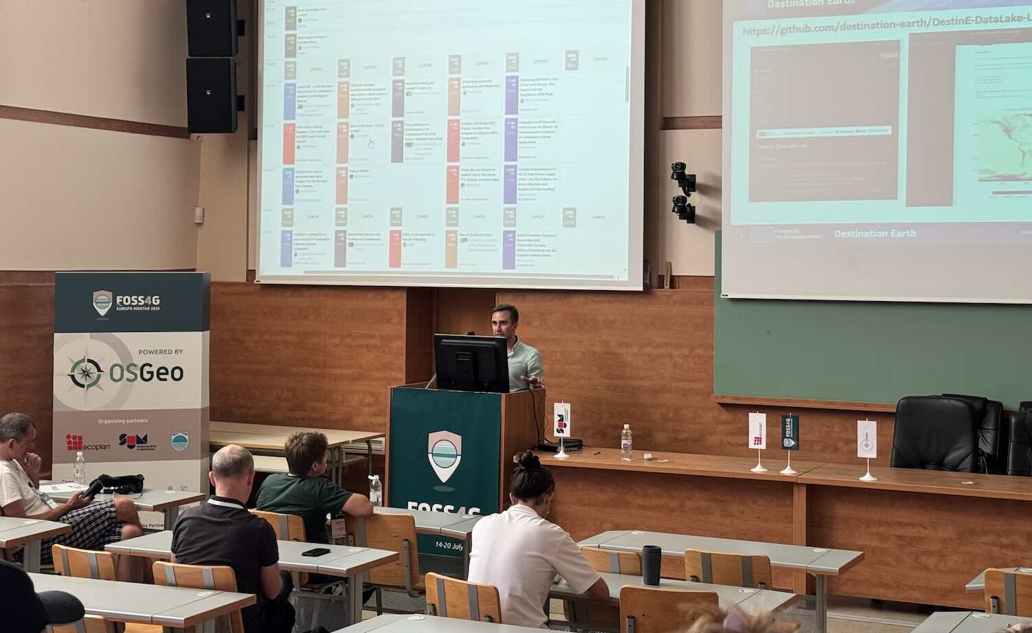
FOSS4G Europe 2025 is a wrap – time for some reflections. This year's edition took place in the city of Mostar, Bosnia-Herzegovina, on 14-20 July, and brought together an inspiring mix of people passionate about open geospatial technologies, from developers and researchers to public sector experts and private companies. These are the key insights from the event we learned:
The European FOSS4G community has found its place in the global open source geospatial movement
For the second year in a row, we have had “our own” European edition of the conference. A third one is already on the horizon, and perhaps most importantly, we’re seeing stable attendance and growing cohesion within the European scene.
But what does it actually mean? I believe it shows that we’re growing more confident in appreciating European solutions, implementations, and projects. And what is important – we are not closing ourselves off. FOSS4G Europe is also a place to meet guests from outside the continent. Because what truly connects us is ‘openness’, no matter where it is rooted. And speaking of ‘opennes’...
The idea of “Openness” is no longer a simple concept
Especially when it comes to data, the conversation is getting deeper. In today’s uncertain times marked by geopolitical issues, raise of AI and other rapid technological shifts, openness is no longer a paradigm. It is conscious choice, shaped by context and consequences.
Key questions are now being raised, such as:
- Should all data be open and free for everyone, no matter what?
- Where do we draw the line between transparency and responsibility?
- How do we stay open while protecting critical infrastructure and societal resilience?
This issue appears to be particularly important in the context of geospatial data, which provides information about the location and condition of objects, lands and any object of interest.
Standards like STAC are now mature and widely adopted
The era of working with entire images is over. It is time to work with specific spectral bands. The days of dedicating entire conference blocks to explaining STAC are over. STAC has evolved into a stable, production-ready solution and is becoming a core part of modern geospatial workflows. We are moving beyond “what is STAC?” and into “how do we build around it?” Earth observation data without STAC is increasingly seen as less valuable and this is now simply taken for granted.
AI is making a real entrance into open geo
Whether through mapping assistants, scientific tools, or geospatial LLMs, AI was everywhere this year. This feels like the beginning of a major shift in how we work with data.
AI is playing a crucial role in democratizing data, breaking down technical barriers and enabling a wider range of people and organizations to engage with geospatial information. This opens up new possibilities for collaboration, innovation, and informed decision-making across diverse communities.
The recent FOSS4G Europe has demonstrated that widely accepted open technology standards in geospatial domain have become firmly established, and their use is steadily growing across the industry. We strongly believe that open source technologies play a crucial role in advancing accessibility, affordability, and flexibility, all of which are essential for driving innovation and expanding the societal impact of geospatial solutions.
By Dr Jędrzej Bojanowski, Director of EO Data Science and Products at CloudFerro
Attending the Living Planet Symposium 2025 in Vienna was a truly eye-opening experience. The scale of the event was impressive - over 7300 people registered (with 6800 attending in person) from 119 countries, showing just how global and dynamic the Earth observation community has become. With more than 250 sessions, 60 agoras, and over 4200 scientific presentations and posters, there was a real sense of momentum, innovation, and diversity throughout the venue.
One of the biggest takeaways for me was how much easier and more affordable it is getting to launch satellites. The main challenge now is choosing the right payload to deliver valuable insights for both science and business. Ground segment providers are keeping up with this demand. CloudFerro, in particular, is aiming to cover the full value chain - from data transmission and ingestion to indexing, processing, and making data available in the cloud.
Data standards were a major topic of discussion. The Spatiotemporal Asset Catalog (STAC) is almost everywhere, but there are still challenges: different tools don not always validate data the same way, and some projects need more advanced, nested data collections. Still, we are proud to provide STAC for Copernicus Data Space Ecosystem users, and the feedback has been very positive.
A big shift is underway as the community prepares to move from older formats like SAFE/JPEG2000 to cloud-native formats like Zarr. Zarr v3 and geoZarr are being developed to solve issues with managing many small files and to introduce features like zoom levels for different dimensions, but questions remain about the best chunking strategies and the lack of metadata in individual files. There is also understandable concern about ensuring data continuity as Copernicus transitions to these new formats. As a cloud provider, we are working hard to make sure our ecosystem is optimized for Zarr adoption and to support users through this change.
AI and machine learning were everywhere at the event. Google’s announcement of global EO embeddings - 64-dimensional vectors for each pixel per year - felt like a major step forward. At the same time, CloudFerro has already released its own global embeddings for several models, which was well received by the community. These new data and tools, along with foundation models, could change how we use EO data, even if the results are not always visually intuitive. The need for higher spatiotemporal resolution came up repeatedly, and there is hope that AI can help fill data gaps and improve data fusion.
And, of course, the European headache – safety, resilience and sustainability kept recurring in various contexts. At CloudFerro we are looking forward to contribute to the ERS and in the future to the EOGS with our insights and our sovereign cloud services.
Federation and community-building are also becoming more important. Users want to access multiple data sources with a single API and login, and there is a clear push for more open and collaborative environments. EOEPCA is likely to become the standard for federated services.
Finally, cloud processing has become a standard approach in the Earth Observation field. Platforms like CREODIAS are now becoming more widely known and trusted. We have received some very encouraging feedback, particularly around how our services help users access and process large volumes of satellite data more easily. Focus on open standards is also very important for users. Being part of this community continues to inspire us to keep improving and supporting our users even more.
Thank you for all the great conversations at the CloudFerro, VITO, CDSE and ESA booths, and for the valuable feedback following our presentations, sessions, and posters. Stay tuned — there’s more to come!

CREODIAS users can now use a new version of the Zipper application that allows to download Earth Observation products from EO Data repository. Products can be in a form of zipped or single files and can be delivered by Zipper via https protocol.
Zipper 2.0.0 has been developed in a different programming language than previously, which brings about improvements performance, scalability, and maintainability, while keeping the user-facing API consistent.
What's new?
- New technology that better handles concurrency, and ensures faster response times - download performance is improved by more than 50%, up to 1 Gbps
- Asynchronous download of small files, which improves responsiveness
- New custom ZIP library with proper support for **zip64** format
- Improved HTTP status code consistency (e.g., 403 for invalid URLs or exceeded file sizes, 422 for invalid UUIDs)
- Better handling of streaming errors without corrupting the response.
Read more in this document: "How to Download a Single Product Using Data Explorer on CREODIAS Cloud".