


BeyondEarthSTAC: Explore the Moon through STAC
Meet BeyondEarthSTAC and learn how the SpatioTemporal Asset Catalog (STAC) standard, widely used for Earth Observation data, can also be applied to planetary datasets. The proof-of-concept currently brings together six lunar collections from several space missions, providing a consistent way to discover and access imagery, topographic data and hyperspectral observations. CREODIAS users will find the mechanics familiar. BeyondEarthSTAC uses STAC in the same way it is used for Earth Observation data: one harmonised metadata layer is applied over products from multiple sources, with spatial and temporal search and direct access to assets over S3. This time, the subject is the Moon.
Lunar observation data is publicly available, but scattered across different archives, missions and formats. BeyondEarthSTAC explores how a common catalogue approach can make these datasets easier to discover and work with. As this is a proof of concept, a limited set of collections is currently available, with the architecture designed to accommodate further datasets.
What is in the catalogue
The demo release covers six collections, spanning panchromatic imagery, hyperspectral observations and topography:
- Chandrayaan-2 IIRS Calibrated- level-2 products from the Imaging Infrared Spectrometer (IIRS), covering 0.8 to 5.0 µm in 256 contiguous bands, with spectral radiance corrected for instrument effects. Used for lunar mineralogy, surface composition and reflectance studies.
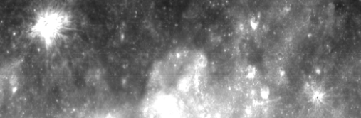
- Chandrayaan-2 TMC-2 Calibrated- level-2 stereo imagery from the Terrain Mapping Camera-2 (TMC-2), a push-broom panchromatic camera acquiring data at approximately 5 m/pixel from a 100 km orbit, corrected for radiometric and geometric distortions. Used for lunar topographic mapping, geological studies and landing site characterisation.
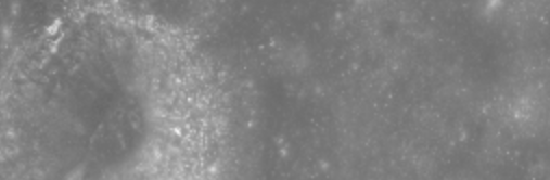
- Chandrayaan-2 TMC-2 Derived Digital Terrain Model- elevation models at approximately 10 m/pixel, produced by photogrammetric processing of forward- and aft-looking stereo pairs, with heights referenced to the Moon's mean radius and provided in selenographic coordinates. Used for lunar topographic analysis, geomorphological mapping and mission planning.
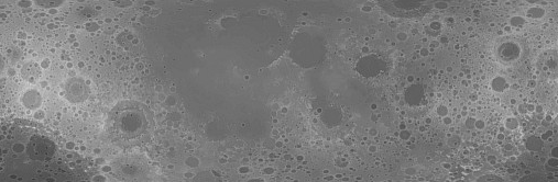
- Chandrayaan-2 TMC-2 Derived Orthorectified Image- 5 m/pixel imagery projected onto a consistent map grid using the corresponding DTM, with terrain-induced distortions removed, giving planimetrically accurate lunar surface images in selenographic coordinates. Used as a precise base layer for lunar geological mapping, surface feature analysis and geographic registration of other datasets.
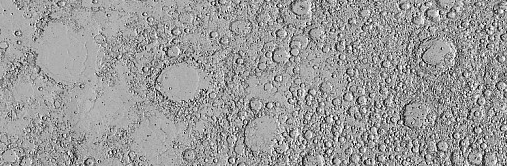
- SLDEM2015 - 512 Pixels/Degree Lunar Digital Elevation Model- the full-resolution global lunar DEM (approximately 59 m/pixel at the equator), derived from data acquired by the Lunar Orbiter Laser Altimeter (LOLA) aboard NASA's Lunar Reconnaissance Orbiter (LRO), co-registered with stereo imagery from the Terrain Camera (TC) on JAXA's SELENE/Kaguya mission between 60°S and 60°N, and LOLA-only data outside that range. The product is delivered as a set of geographic tiles, each accompanied by a derived slope map. This is one of the most precise lunar topographic products available. Used for high-resolution terrain analysis, mission planning and photometric correction workflows.
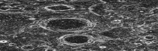
- SLDEM2015 - 256 Pixels/Degree Lunar Digital Elevation Model- the same LOLA and SELENE/Kaguya TC product at approximately 118 m/pixel at the equator, also tiled and accompanied by slope maps. The lighter data footprint makes it the more practical choice where full resolution is not required. Used for regional-scale analyses and global topographic modelling.
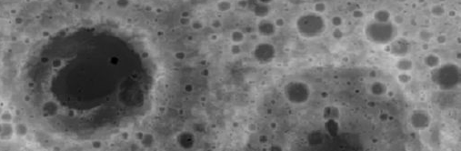
Together, these collections cover the Moon at scales from 5 m to approximately 120 m and characterise three complementary aspects of the terrain, its morphology, its topography and its surface composition. The source products come from different missions and instruments, but in BeyondEarthSTAC they are described using the same STAC standard, enabling more efficient search and analysis across all of them.
The catalogue is aimed at anyone who treats lunar data as an input to their own work: planetary scientists and remote sensing researchers mapping mineralogy or reflectance over a region of interest, mission planners and landing site analysts deriving slope and roughness for candidate sites, space industry teams working on surface operations and lunar infrastructure, and data engineers assembling training sets for crater and terrain detection models.
What's next
BeyondEarthSTAC is a proof of concept, and the architecture is deliberately open-ended. Because every collection follows the same STAC schema, datasets from other missions, historical and future, can be added without reworking the underlying infrastructure. Wider coverage of lunar missions and instruments is a possible next step, and the same model applies to other planetary bodies.
We encourage CREODIAS users to try out the catalogue and share feedback on what would make it more useful.