



Sentinel-2 Super-Resolution via Model Fusion
Author: Bartosz Augustyn (Junior Data Scientist, CloudFerro)
The system employs a model fusion approach that combines the complementary strengths of two open-source super-resolution models: Sen2SR, developed by Cesar Aybar and colleagues [1], and L1BSR, proposed by Ngoc Long Nguyen and colleagues [2]. Sen2SR provides high-quality 2.5 m super-resolution while preserving the original low-frequency radiometric signal, limiting the introduction of artificial texture or spectral drift. However, like most deep-learning super-resolution methods, it can occasionally generate plausible-looking details in homogeneous regions such as water bodies, shadows, or uniform agricultural fields. L1BSR approaches the problem differently by learning directly from raw Sentinel-2 sensor observations, exploiting detector overlap rather than synthetic training pairs. Although it produces a lower native output resolution (5 m) and exhibits slightly lower spectral consistency, its geometry and edge placement remain closely tied to the physical sensor measurements.
By combining these complementary properties, the workflow uses Sen2SR as the primary source of high-resolution detail while employing L1BSR as a reference in locations where the two models disagree. These disagreements provide a reliable indicator of potentially hallucinated structures, allowing the processor to suppress artifacts while preserving genuine image detail. The result is a sharper image with improved structural consistency and high radiometric fidelity across the RGB and Near-Infrared (NIR) bands.
Users can process entire Sentinel-2 granules or define specific Areas of Interest (AOIs) via command-line tools to generate high-resolution mosaics. The final product maintains close agreement with the original satellite measurements while providing substantially improved spatial detail.
The main benefit for users is the ability to obtain imagery with four times finer spatial resolution from standard Sentinel-2 L2A products, increasing the resolution of the RGB and Near-Infrared (NIR) bands from 10 m to 2.5 m.
Beyond the resolution increase, the tool provides several additional advantages:
- High Spectral Fidelity: The workflow is designed to preserve the radiometric and spectral characteristics of the original Sentinel-2 observations. By combining Sen2SR's radiometric constraints with L1BSR's physically grounded reconstruction, the final output remains faithful to the underlying sensor signal while recovering substantially finer spatial detail.
- Reduced Artifacts and Hallucinations: Individual super-resolution models inevitably have failure modes. Sen2SR may occasionally introduce artificial detail in featureless regions, whereas L1BSR is considerably more conservative. The fusion strategy exploits these complementary behaviours, using L1BSR to identify and correct locations where Sen2SR is most likely to have produced hallucinated structures, resulting in cleaner and more reliable imagery than either model alone.
- Targeted Processing (AOI): High-resolution products can be generated for a user-defined Area of Interest (AOI) by specifying a bounding box. This enables efficient processing of individual cities, agricultural areas, or study sites without processing an entire 110 × 110 km Sentinel-2 tile.
- Automated Workflow: The processing pipeline can automatically retrieve native Sentinel-2 products directly from CloudFerro's eodata storage, eliminating the need to manually download complete datasets before processing.
Product id
VHR ortophoto
S2L2A image
L1BSR
Sen2SR
CF_hybrid
S2B_MSIL2A_20260305T105029_N0512_R051_T31UFU_20260305T144521
S2A_MSIL2A_20260520T094121_N0512_R036_T33SWB_20260520T161915
S2A_MSIL2A_20250818T103041_N0511_R108_T32UMA_20250818T143613
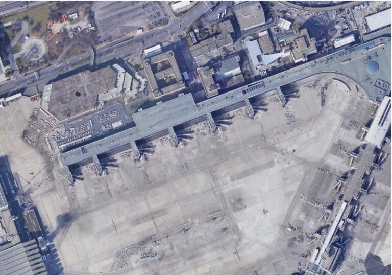
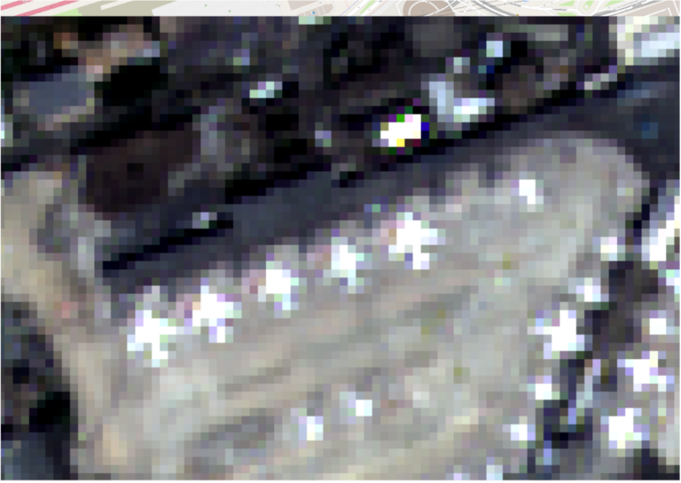
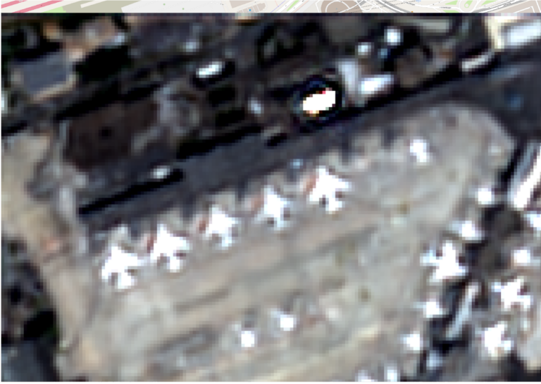
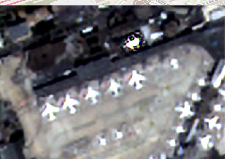
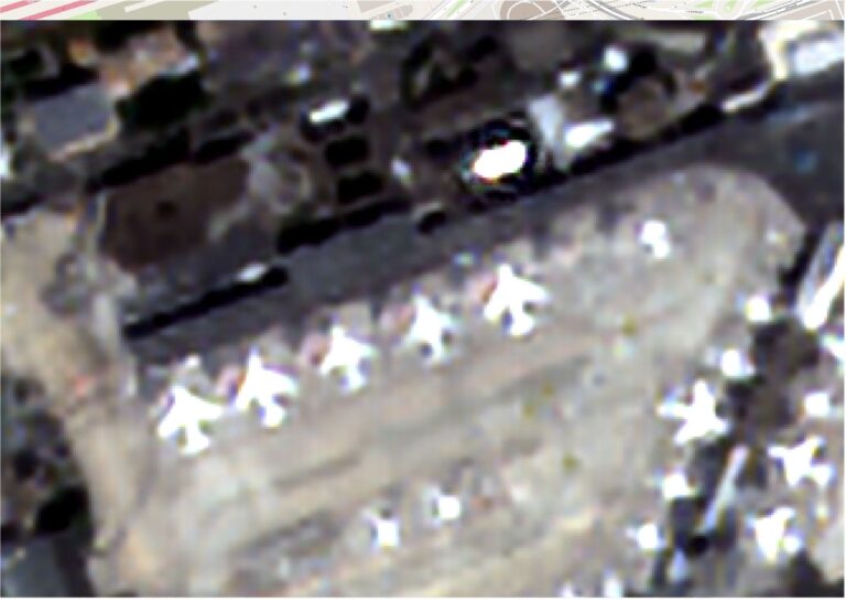
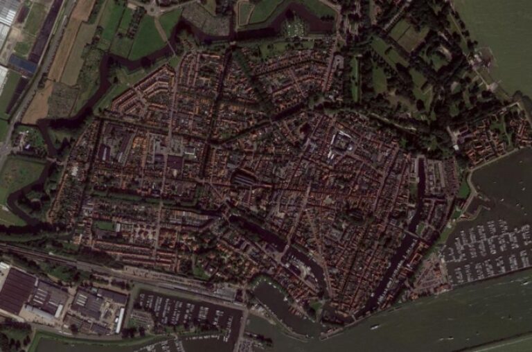
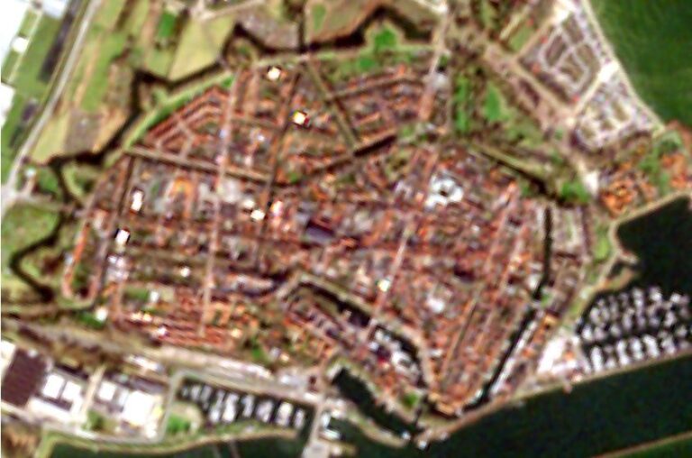
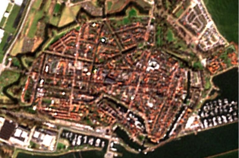
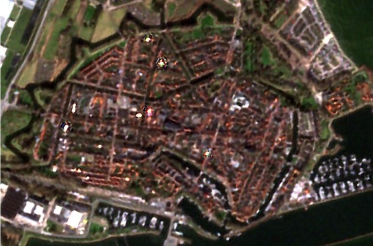
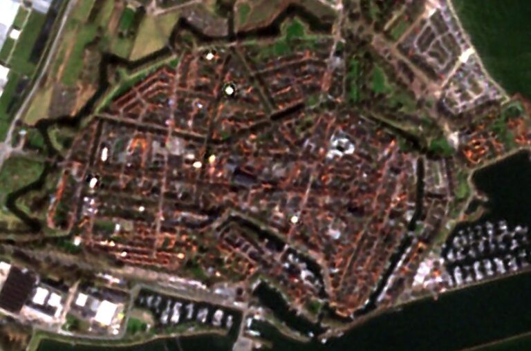
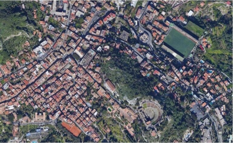
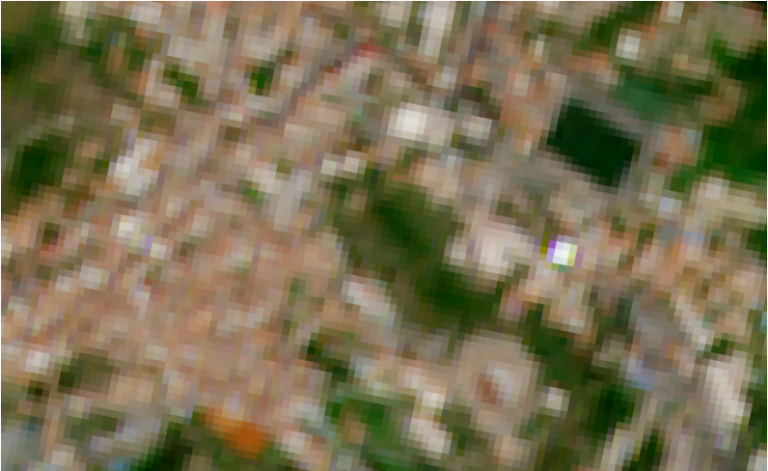
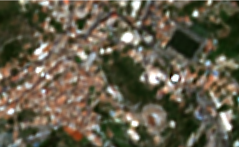
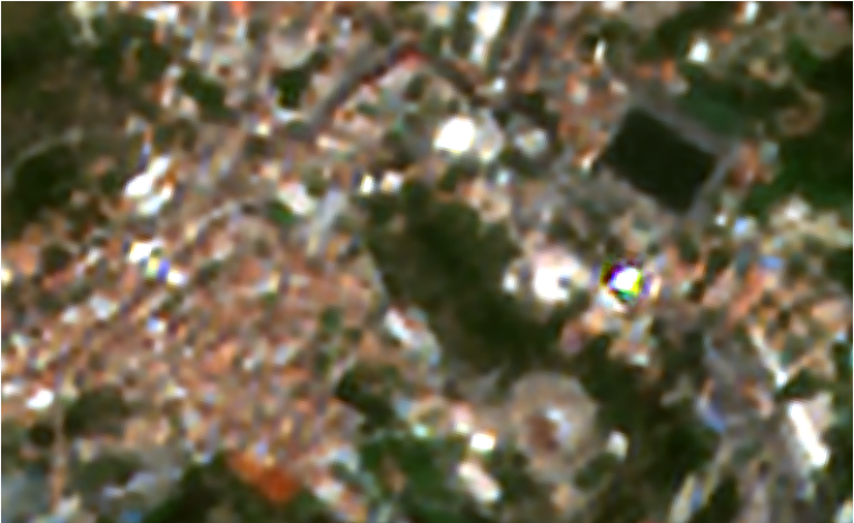
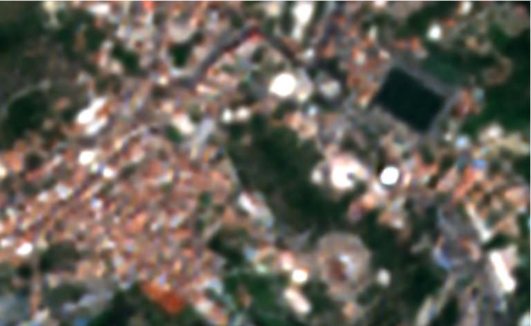
Table 1. Examples of all models results compared with original sentinel-2 L2A image and high resolution basemap.
References
- Aybar, C., Contreras, J., Donike, S., Portalés-Julià, E., Mateo-García, G., & Gómez-Chova, L. (2026). A Radiometrically and Spatially Consistent Super-Resolution Framework for Sentinel-2. Remote Sensing of Environment, 334, 115222. https://doi.org/10.1016/j.rse.2025.115222
https://www.sciencedirect.com/science/article/pii/S0034425725006261 - Nguyen, N. L., Anger, J., Davy, A., Arias, P., & Facciolo, G. (2023). L1BSR: Exploiting Detector Overlap for Self-Supervised Single-Image Super-Resolution of Sentinel-2 L1B Imagery. In Proceedings of the IEEE/CVF Conference on Computer Vision and Pattern Recognition (CVPR) Workshops – EarthVision.
https://openaccess.thecvf.com/content/CVPR2023W/EarthVision/html/Nguyen_L1BSR_Exploiting_Detector_Overlap_for_Self-Supervised_Single-Image_Super-Resolution_of_Sentinel-2_CVPRW_2023_paper.html